A simple yet solid overnight loop, with a sleepover at a well-configured subalpine hut with sweeping views. You can walk this loop in either direction but anticlockwise is more forgiving. This direction has the advantage of getting you to the hut sooner, with more time for traversing Gable End Ridge on the second and longest day.
Day 1: Waiopehu Hut via Waiopehu Ridge
From Poads Road, cross easy farmland for just over 1km. Turn right onto Waiopehu Track and take slightly over an hour to gain the ridgetop junction with Six Discs Track. The climb isn’t unduly steep and is in good condition. The forest through here is fantastical—one tree was shaped like an archway portal into an unknown world.
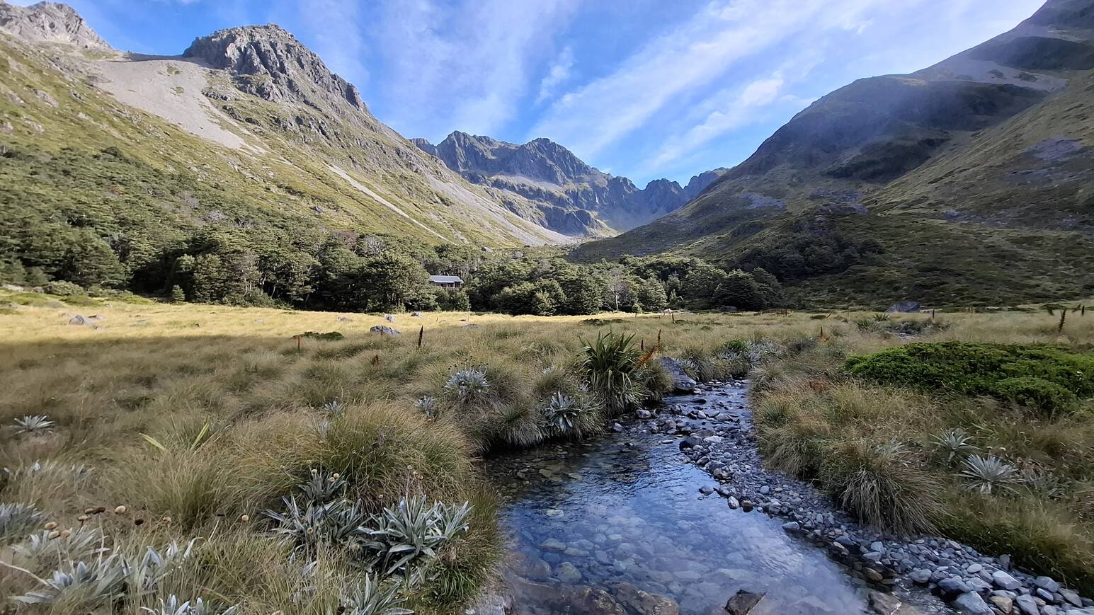
Once Waiopehu Ridge the track climbs gradually through the bush, veering southeast at Bushy Corner where it offers a peek over the Tararua foothills. The site of the old Waiopehu Hut lies in a clearing at some 790m altitude, the hut’s concrete foundations still apparent. Distinctive mountain toi—one of my favourite trees—begin to appear. The track ascends steadily to Waiopehu Hut, 150m higher up, moving from kamahi forest into the subalpine leatherwood zone just in time to hear the twitter of happy trampers ringing from the hut porch.
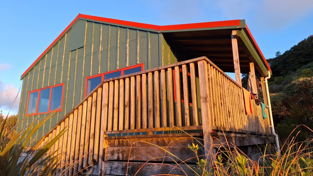
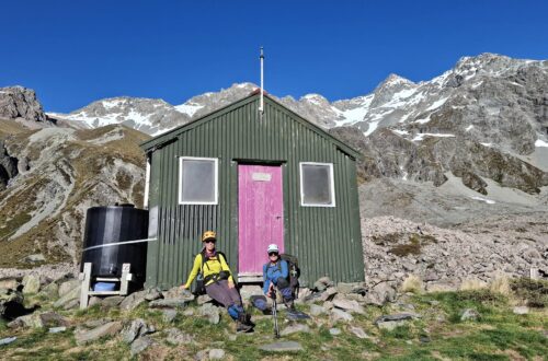
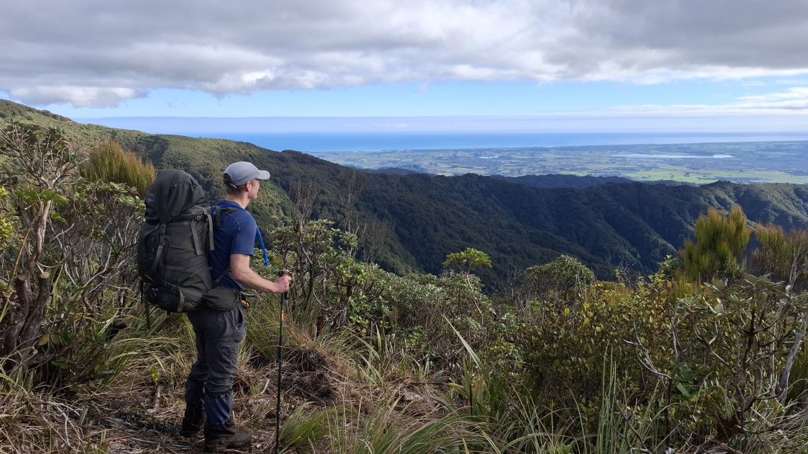
Waiopehu Hut sleeps 18 and is a great overnight option for families. Two dormitories separated by an open doorway are partitioned from a main common area, a configuration that allows for chatterboxes and sleepyheads alike. A small porch welcomes trampers with a place to take off boots and outdoor sink. A veranda on the other side affords incredible views over the Horowhenua Plain—even to Taranaki Mounga on the horizon. It would be good to see this extended, as it would be a tight fit for any more than a few people sleeping here and the hut can get very busy in summer, especially because it doubles as an unofficial Te Araroa refuge. Still, you never know… I had half expected the hut to be bursting when we went given that the road end was parked out, but the hut was only half full.

Day 2: Return over Gable End Ridge
The track beyond leads over Waiopehu (1094m) summit and through a dip to Twin Peak (1097m). It doesn’t take long to reach Waiopehu, but you pass through some wonderful goblin forest along the way. On the way up Twin Peak you’ll find Ralph Norris’s grave, with his memorial cross at the trig.
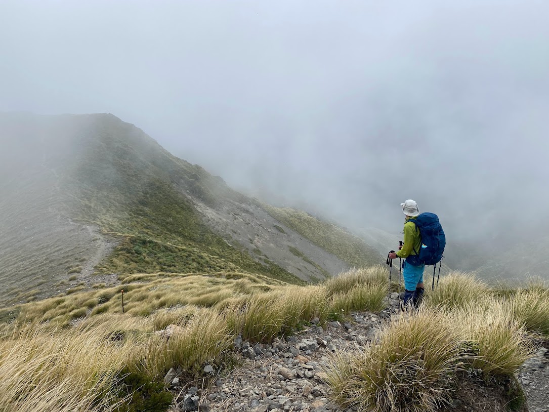
A saddle that takes about one hour to cross separates Twin Peak from Richard’s Knob (985m). There are spectacular views along the way towards the Dundas Ridge and Main Range, as well as back over to Waiopehu Hut and northwest to Taranaki. Semi-exposed, this is also the muddiest section of the track.
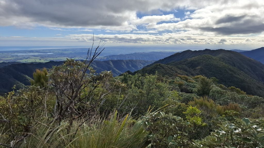
On top of Richard’s Knob a track heads east towards Te Matawai Hut and the Main Range. Instead, our loop heads north along Gable End Ridge to the Ōhau River. This beautiful four-hour walk traverses many vegetation zones on a straightforward track. Interestingly, this ridge is less wet than Waiopehu Ridge, perhaps because it lies between the main range blocking easterlies and the wet western front. In any case, it makes for more enjoyable tramping
At the end of Gable End Ridge descend to a junction and turn left. Follow Ōhau Gorge for one-and-a-quarter hours back to the junction with Waiopehu Track, from where it’s 15 minutes back to the carpark to complete this satisfying overnight loop.
Need to know
Access: Drive to the end of Poads Road.
Grade: Easy-Moderate. Waiopehu Track is on the easier side whereas the longer return trip is “moderate”, primarily due to the muddier and climb between Waiopehu and Richard’s Knob and extra length.
Accommodation: Waiopehu Hut ($10, 18 bunks). Mobile coverage is available.
Time, distance and ascent: Poads Road to Waiopehu Hut (4.5-5hr, 11.8km, 1,189m); Waiopehu Hut to Poads Road via Gable End Ridge (7-7.5hr, 15.4km, 589m). Total distance is 27.2km and total climb is 1,778m.
NZ Topo 50: BN33 Levin
Further information: See also Wandering up to Waiopehu.