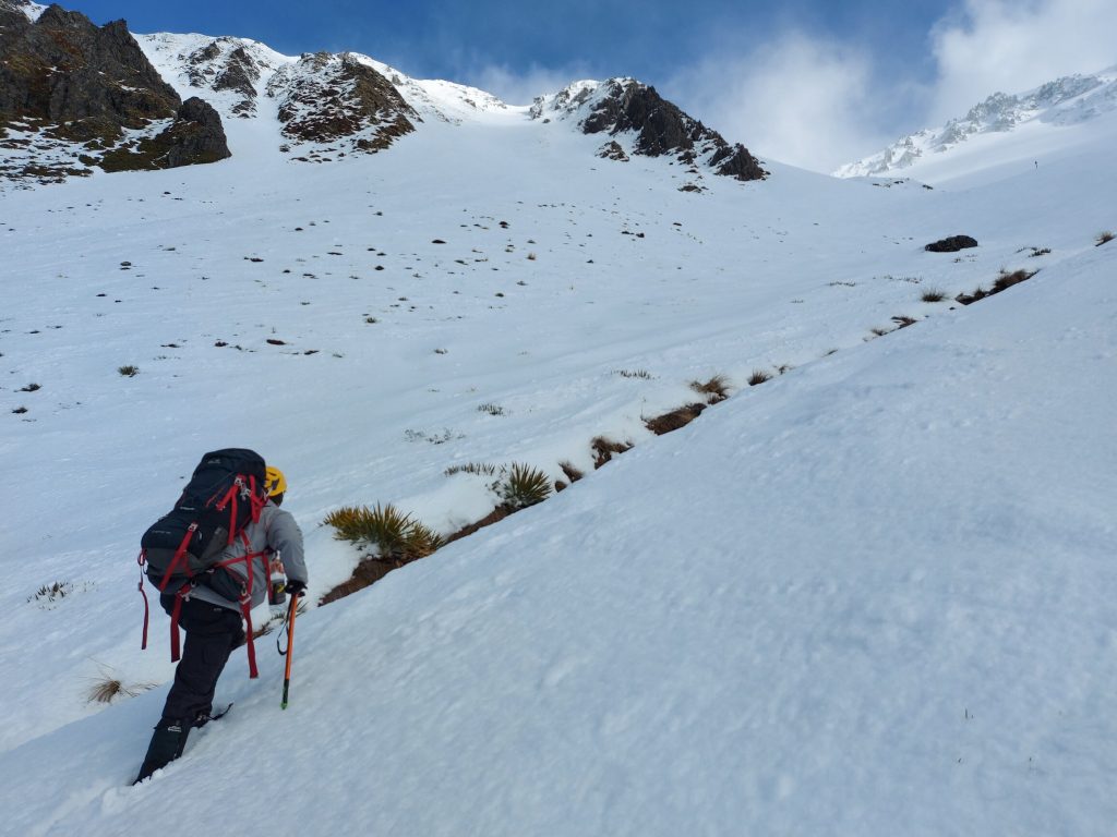
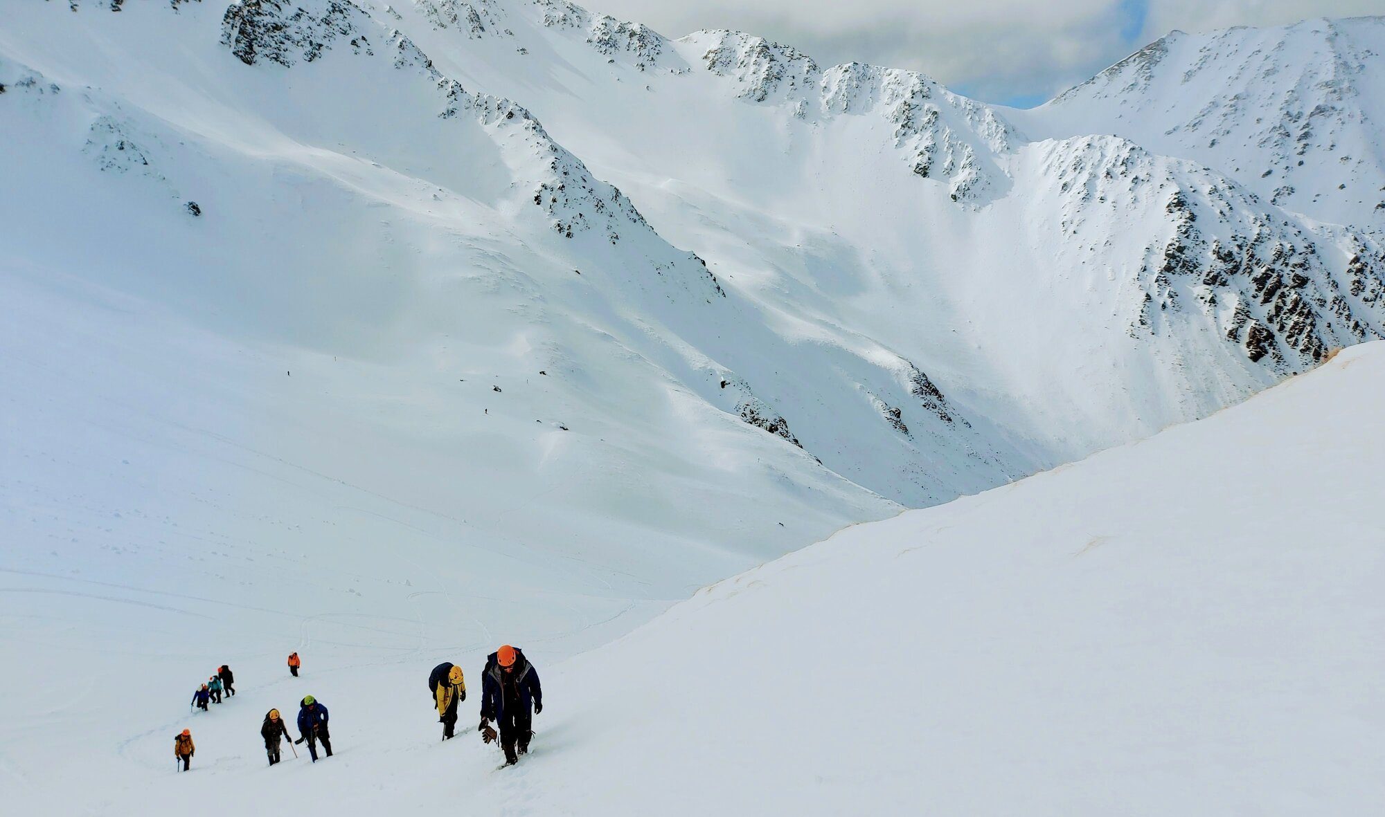
Snowcraft provides foundational skills for mountaineering, like using an ice axe, crampons, and principles of – and practise with – self-arrest to brace an unwanted slip. Introductions to avalanche rescue and tips and tools for trip planning and risk assessment may also be included.
After many a winter of discontent for alpine enthusiasts, 2023 finally saw Aotearoa blessed with some proper snow. This was my time to try something new. Something necessary if I’m to achieve some long-term goals. This was the time… for SNOWCRAFT!
Many operators run trips, but I went through the New Zealand Alpine Club (NZAC). The NZAC has a reputation for high-quality trips and training going back the better part of a century. They also have dedicated facilities in several key alpine areas—very handy!
This particular course was hosted by the NZAC’s Canterbury-Westland Section, from their lodge in Arthur’s Pass. Other NZAC snowcraft courses are run on Ruapehu and in Otago.
Day 1: Skills training
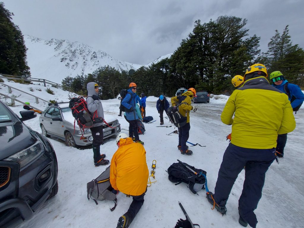
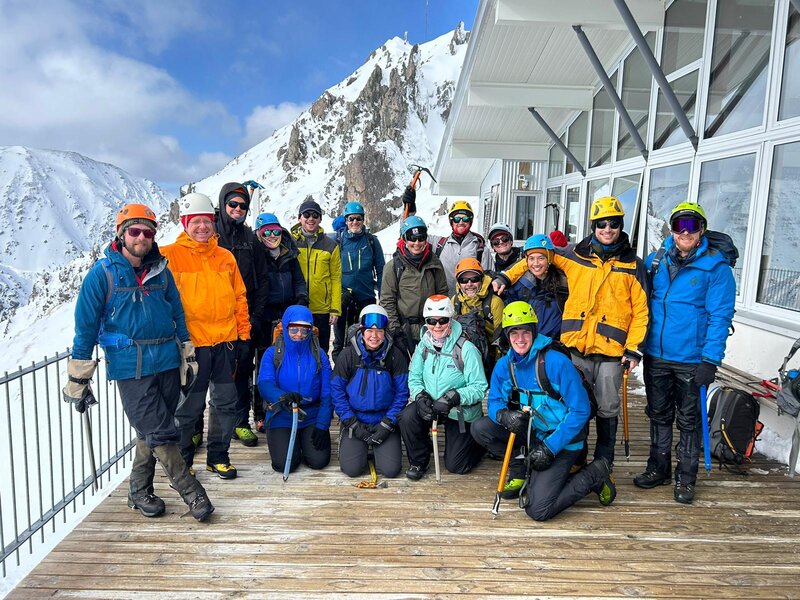
Basic Snowcraft courses must be held in a controlled environment, such as a ski field. This protects participants, allowing beginners to focus on skills rather than worry about safety. So, on the first day, I and 11 other learners left at 8am for Craigieburn Ski Field.
There it was not quite snowing… but almost. We put on crampons – which attach to one’s boot to provide increased traction on ice and snow – and began learning various techniques—the ‘John Wayne’, duck-walk, sidling, and 45°.
We walked uphill, we walked downhill. We cut steps. We practised self-arrest: Feet first, on our backs, tummies, and headfirst. I was uncertain and uncoordinated… I didn’t really get the hang of some of the maneuvers.
“Axe in the uphill hand,” and “Three points of contact,” became mantras. And we were taken through the ‘Tight Five’.
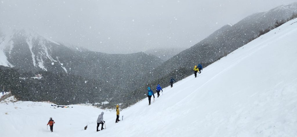
The morning wore on. The wind picked up, as did the snow. Gusts saw us cowering over our axes. Frankly, it became miserable. I think we were all pleased to retreat to the lodge for a warm shower and lunch.
Our afternoon indoors covered more skills. A trip planning session was an exercise in hypothetical possibilities for summiting an easy peak, which elicited some wild and wonderful responses from us participants, who had been split into four groups. It was fascinating that each group devise a quite different trip on their own.
A second lesson in weather examined the concept of synthesising different forecasts (see useful websites) and, in particular, freezing level and aspect.
Day 2: The journey
Our second day began with more skills, and we split into two teams.
We received a demonstration from the instructors on basic avalanche rescue, along with a useful critique. We were also given the chance to run through a basic avalanche rescue ourselves. We practised digging furiously into the snow pretending we might need to rescue a buried person, but as the sun came out we got a bit distracted and instead made a snowman. We were exposed to bothies and other means to keep warm.
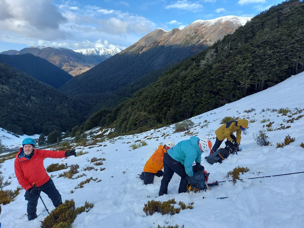
Our lead instructor said she hoped to take us on “a journey” on the second day, and when the two groups rejoined we started our 400m climb to the Craigieburn Day Shelter. Our journey was never meant to be a summit attempt—it was simply meant to be a destination. I think this is a great goal for participants at this level; often you won’t even make a summit, and the fun – and challenge – should be in attempting a trip and making it home safely.
What are some things I learned?
Weather and freezing level
Snow typically needs 24 hours and ideally a few thaw-freeze cycles to consolidate—thereby reducing the risk of avalanche and improving conditions for using crampons. Hence heading up the hill straight after the snow is sometimes not the best for climbing.
Key considerations:
- Can I crampon?
- Can I avoid an avalanche?
- Can I see?
- Can I stand up?
Aspect
‘Aspect’ refers to a slope’s compass direction when looking down the slope. So, if you’re looking down a slope that extends southwest from a ridge, the slope is southwest. This is important when thinking about avalanche risk and wind.
‘Tight Five – “Up, down, PEW”’
The Tight Five is a quick risk assessment tool:
- Up – what could present a hazard above you?
- Down – what could present a hazard below you?
- P – People. How is our group doing? How are we feeling… is anyone cold, tired, or hungry?
- E – Equipment. How is our equipment? Are we well equipped to continue?
- W – Weather. How is the weather? Is it as forecast? Is it deteriorating?
ACT: Continue as planned, adjust, or turn back.
FACETS
Heuristic traps can lead groups astray as they provide shortcuts for thinking, even if not in the best interest of your group and your trip.
- Familiarity. “It’s always been fine going this way…”
- Acceptance. “I just want to fit in with the group…”
- Commitment. “We’ve travelled so far for this…”
- Expert halo. “The best climber reckons it’s fine…”
- Tracks/scarcity. “It’s a once-in-a-lifetime chance…”
- Social proof. “Someone’s obviously come this way already…”
Timing card
This timing card helps plan the duration of your journey. I have simplified it to cover 1km and 500m distances.
| 1 kph | 2 kph | 3 kph | 4 kph | 5 kph | |
| 500m | 30’ | 15’ | 10’ | 7’30” | 6’ |
| 1,000m | 60’ | 30’ | 20’ | 15’ | 12’ |
As a general rule of thumb, I allow 1 hour for every 1,000 feet (300m) of vertical a track gains, if it is reasonably consistent in its ascent.
An alternative approach is to add 10 minutes for every 100 vertical metres gained, in addition to track distance. Applying this to a frontcountry scenario tramping to a hut at 3 kph (or 1km every 20 minutes) on a 12km track that gained 1,200m, I would factor:
| Distance: | 12* 20’ = 4 hours |
| Elevation: | 12* 10’ = 2 hours |
| Total: | 6 hours |
This, to me, is realistic. I might even add another hour for stops.
Is it possible I’ll reach the hut sooner? Sure! But that can be regarded as a bonus rather than a pressure.
Although walking 5 kph may be a breeze in town, 3 kph on many New Zealand tracks and routes is perfectly realistic when considering terrain and carrying a load. On craggy peaks, rough terrain—or jungly tracks, for that matter—you may be lucky to reach 1-2 kph.
Useful websites
Climb NZ – for climbing routes.
Metservice – better for immediate forecasting.
MetVuw – good for long-range weather forecasting.
NIWA – general weather forecasting.
Windy – for localised weather predictions, especially windspeed and hazard.
Need to know
The NZAC’s Basic Snowcraft course is organised through local sections and only open to NZAC members. This course ran from 7.30pm Friday night until about 4pm Sunday.
Check with the NZAC for course costs, but at the time the fee was extremely modest and included accommodation and dinner on Saturday night. Instructors donated their time. Participants needed to arrange their own dinner on Friday and bring food for snacks and lunches.
Accommodation: NZAC Lodge Arthur’s Pass (included with course costs; otherwise $20 per night for NZAC members and $40 for non-members).
