The Crow’s Nest (385m) rises prominently on Wellington’s skyline to the south of Kaukau. It’s now an easy walk up and over the summit but it hasn’t always been this way. Work in the mid 2010s saw this overgrown and unloved path turned into a well-formed, well-kept track.
Although there are several routes, the access from Patna Street, Ngaio, is most obvious for first-timers. Head up through long grass and veer left at the junction onto the clearly-marked path. Sidle the hill for about 10 minutes, passing the access from Huntleigh Park Way. The track twists into a dark corner of Huntleigh Park and makes a hairpin bend across a small stream. After this you pass the access to Silverstream Road in Crofton Downs and walk on up and under shoulder of The Crow’s Nest’s. Step out to a lookout (260m) to gain the first of many fine views over Wellington’s western suburbs.

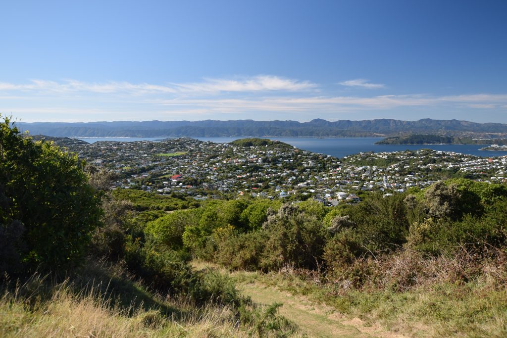
From here the track steepens as it heads through scrubby farmland, but it’s not far to the top. At the next junction, head out onto the spur (322m) to a cairn and bench on the high point. This is a great spot for a snack. Return to the main track, cross the style and ascend over a rocky bluff onto the summit ridge of The Crow’s Nest. Sweeping views surround you, including a nice perspective of the ancient peneplain that forms Kaukau’s broad flanks. Jutting out from the skyline ridge, The Crow’s Nest also affords a more intimate view of Wellington’s western suburbs, which is possibly the appeal to local walkers. The city centre hides behind Te Ahumairangi Hill, but there are still superb harbour views.
Turn right at the junction with the Skyline Track. Follow the track along the wind-battered tops for less than 1km. Sunlight and shadow play on the crinkled hills of the Ōhāriu Valley. Beyond this, views stretch over Cook Strait to the South Island’s Marlborough Sounds.
At the saddle (299m), head back towards the city down Bells Track. From here it’s only 15 minutes down to Awarua Street. Now part of Te Araroa Trail, Bells was the original stock route between Wellington and the Ōhāriu Valley. Once across the style, you’re suddenly surrounded by endemic regenerating bush. Many hundreds of volunteer hours—including some of my own—have gone into weeding, planting and maintaining these 17.5 hectares, to ensure that our native habitat thrives again. The picnic site especially is to be enjoyed.
It’s now an easy stroll to the track end at Awarua Street. Alternatively, 100m before exiting at Awarua, follow the signs to loop back to your starting point at Patna Street.
Need to know
Access from Awarua Street, Patna Street, Huntleigh Park Way in Ngaio or Silverstream Road in Crofton Downs. Nearest train stations are Awarua Street, Ngaio, and Crofton Downs—see Metlink for Johnsonville train service timetable and fares.
Easy—1.5 hours round trip (5km return). Highest point is 385m. Total ascent is around 200m from Patna Street or 300m from Silverstream Road.
NZ Topo 50: BQ 31 Wellington

