The Haast Pass Lookout Track is a short 1.5km blast from the summit turn-out (562m) to a sub-alpine lookout, some 120m above.
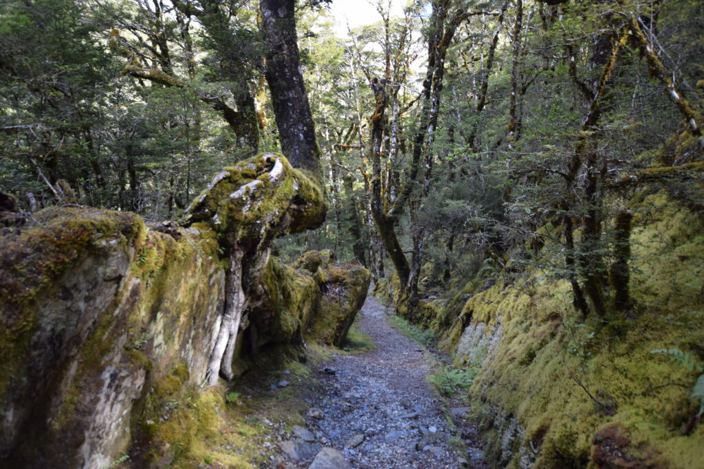
The track is something of a secret, beginning behind the stone monument separating Otago and Westland on State Highway 6. It’s well-graded, though, with no steps. Creeping up through beech forest, the track passes mossy banks that resemble a green carpet and cuts through rock outcrops overcome with moss. It’s outrageously beautiful.
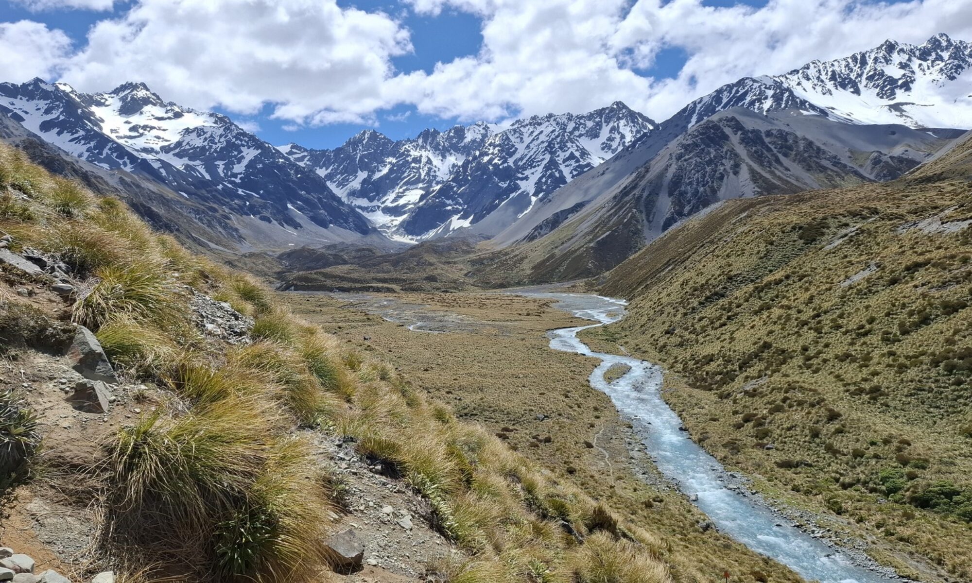
Only on the last few 100 metres or so does the track break into a clearing. Across the valley, the alpine tops of Mount Aspiring National Park soar above you, some still with traces of snow. One realises that despite bursting up the hill, you really haven’t made a dent on the Southern Alps at all! This is true even on a day when the snowy tops flirt with the clouds.
Take a breather at the lookout—there’s a seat waiting for you. Here on the Main Divide, the Haast River heads north beneath Mount Brewster (2516m), down through the Gates of Haast gorge to the Tasman Sea. To the south, the Makarora River tumbles out of the Young Range and down to Lake Wanaka, its waters feeding the mighty Clutha River and finally discharging into the Pacific Ocean.
For vegetation and views, this walk is low-hanging fruit. I didn’t see anyone else on this track when I was there so, if you’re in the vicinity and have a spare hour, why not give it a go!

Need to know
Access from the State Highway 6 at Haast Pass summit (45 minutes drive from Haast; 75 minutes from Wanaka). Allow 45-60 minutes return.
Grade: Easy
Distance and ascent: 1.5km return with a 120m ascent. This shouldn’t deter any frontcountry tramper or walker, as the ascent was gentle and non-technical.
NZ Topo 50: BZ13 Haast Pass/Tioripatea

