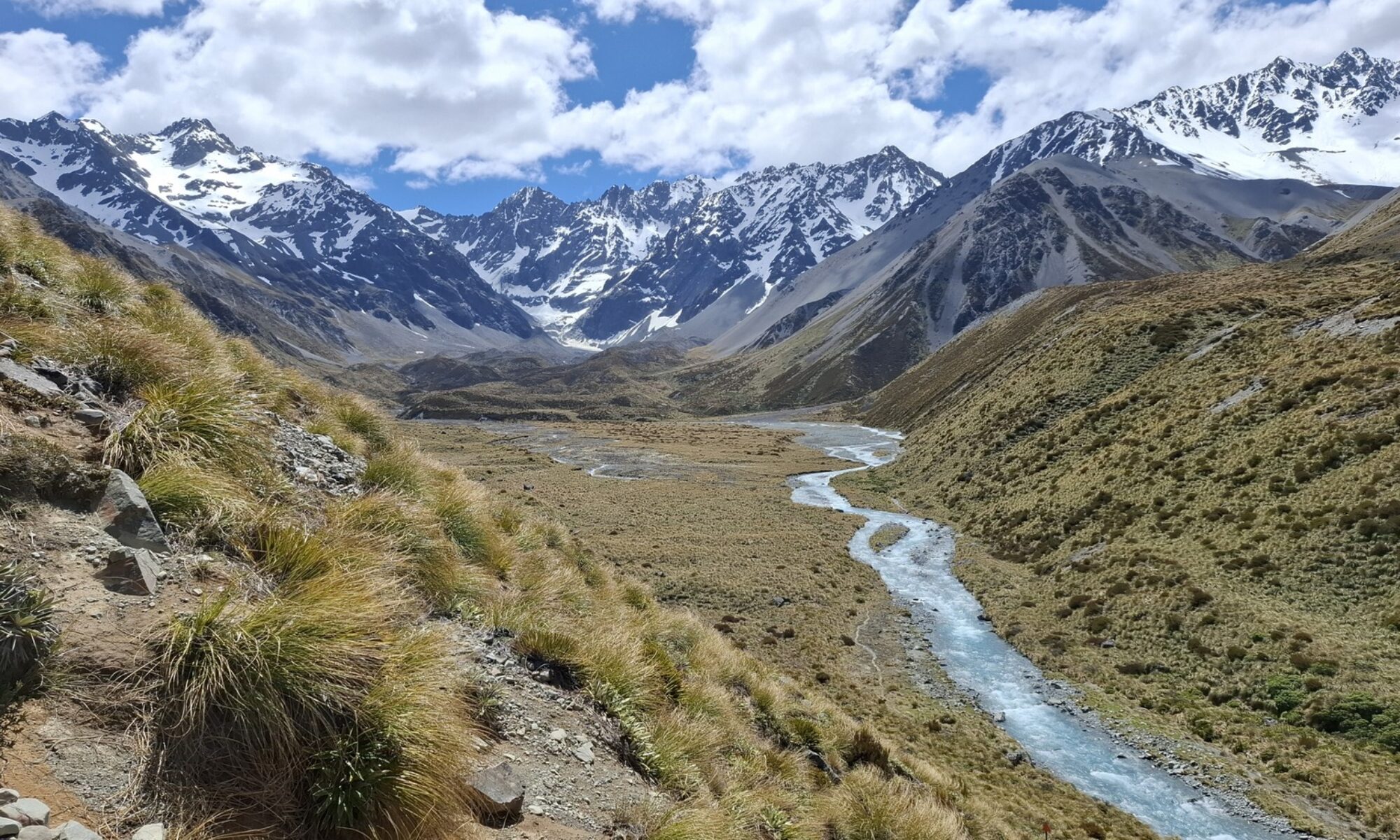
Aotearoa’s renowned Kepler Track is a 60km circuit in Fiordland National Park. This Great Walk is normally tramped in three or four days, usually anticlockwise—the route described here.
Day One: Control Gates to Luxmore Hut
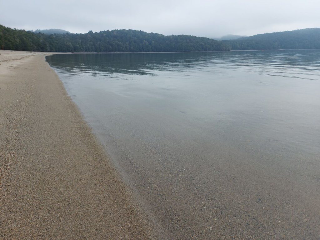
Cross the Control Gates and wander through the spectacular red beech forest that hems Lake Te Anau’s serene shore. It’s flat all the way to Brod Bay, about 1-1.5 hours in, where you’ll find a shelter and toilets. Brod Bay’s beach of shingly sand makes for fine stop for a snack. Catch a water taxi to here if you want to skip the walk from Control Gates.
From here, one climbs… and climbs. I had been warned about this but found it nothing to be concerned about. At no point is it overly steep, and the track is beautifully benched and in good condition. Take your time and rest as needed.
The track slips under the bluffs of the Luxmore limestone escarpment (about 1.5-2 hours from Brod Bay). A short set of stairs leads off the escarpment and back to the spur. It’s not far to the bushline.
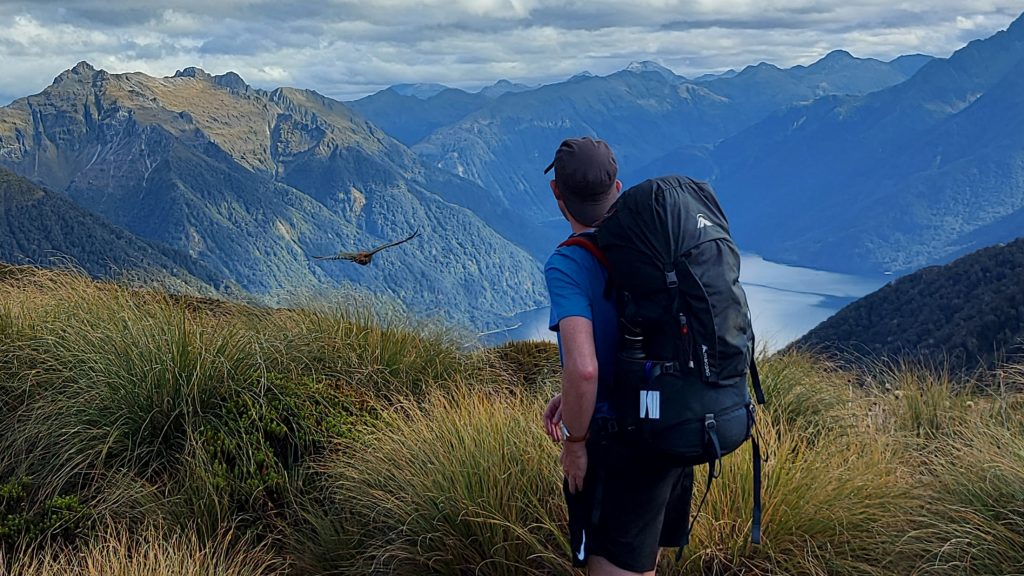
The spur now transforms to a tongue of golden tussock and you can begin to appreciate the vast expanse of Fiordland. The Jackson Peaks rise prominently on your left and small Hidden Lakes reveal themselves where South Fiord joins the main trunk of Lake Te Anau beneath the Murchison Mountains.
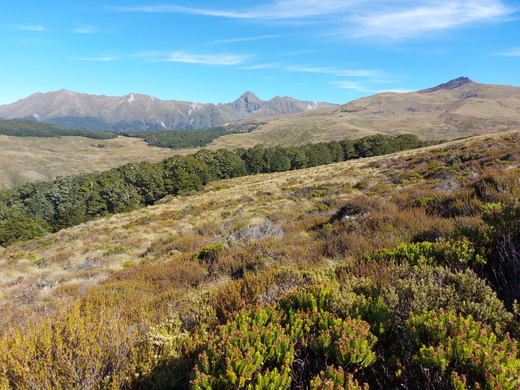
Lake Te Anau is New Zealand’s second largest lake and, due to its size and depth (over 400m), has the largest volume of any lake in Australasia.
Turn a corner and Luxmore Hut suddenly appears. The view over the lake from the hut’s several decks is spectacular.
Luxmore Hut
Allow 4-5 hours to reach Luxmore Hut (54 bunks)—we made it in just under four. The hut sits at 1050m. It has three east-facing decks to make the most of the views. Kea are common, so take care with your things!
The kitchen has many sinks and gas stoves. There are a number of tables, although we soon discovered the one in the corner window can become uncomfortable in the sun.
The hut is large and usually fully booked in the Great Walks season. A dormitory has partitions between every four bunks, and there is also a smaller bunk room that sleeps about twelve (six up, six down). Consider the bunk room to minimise the risk of snorers.
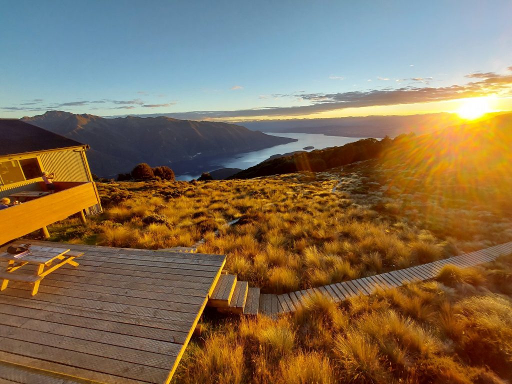
Just 10 minutes away, Luxmore Cave reportedly has good examples of limestone stalactite and stalagmite formations. We didn’t go—we hiked to Luxmore summit instead, an 8km out-and-back from the hut. While the summit is a short deviation from the Kepler Track on the second day, there was no guarantee conditions would be as good.
Day Two: Luxmore Hut to Iris Burn Hut
The track climbs through golden tussocks and past the pretty tarn providing water to Luxmore Hut. After 1km you crest a ridge and are greeted with a sign warning of avalanche risk. Thus begins Kepler Track’s 10km-long alpine section.
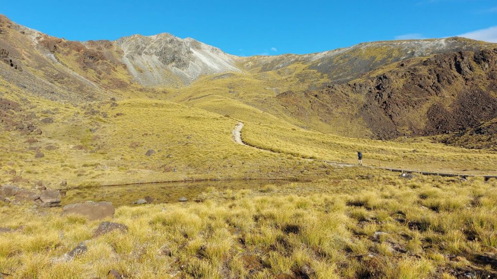
The alpine section
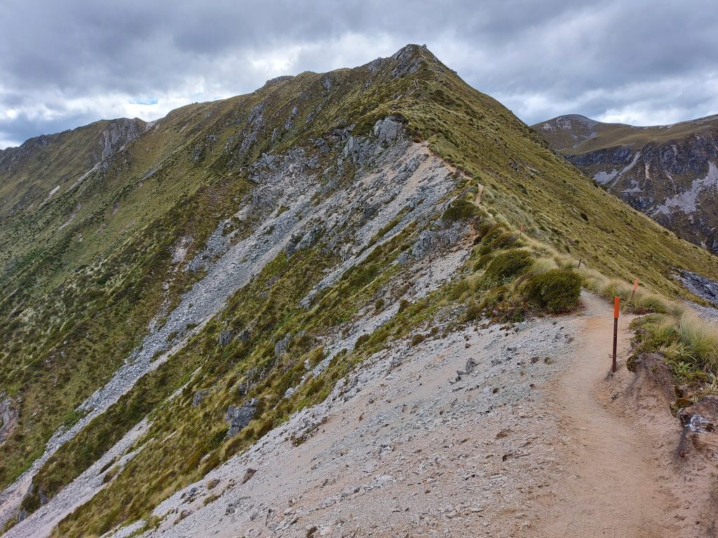
The Kepler’s alpine section is considerably more demanding than that of its Fiordland ‘Great Walk’ neighbours—the Milford, Routeburn and Hump Ridge Tracks. With several decent inclines, it is often rocky under foot and considerably more technical than the rest of the track. Slow down and take care.
The alpine section is very exposed, often clinging to a ridge hundreds of metres above the bushline. It is exhilarating but should not be underestimated or challenged in poor conditions. There are two emergency shelters should you get caught out.
Heading west, Mount Luxmore dominates the skyline. Kepler Track leads ever higher up the mountain, ushering a sense of awe and wonder as to what you might see around the mountain’s broad shoulder. Forty minutes later and spectacular views up South Fiord to the craggy peaks that form a barrier to the coastal fiords. Views are better still from Luxmore summit. You’ll find the turnoff 3.5km from Luxmore Hut.
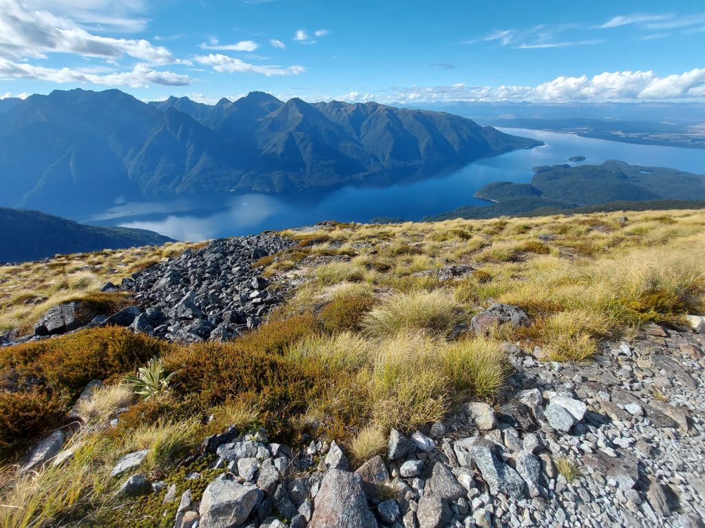
Luxmore summit
Not-to-be missed Luxmore summit (1427m) is a 20-minute return side trip offering the best 360-degree views on the Kepler Track. Lake Te Anau follows a north-south axis. Using this, we can orient the Takatimu Mountains to the southeast. The Jackson Peaks are in the foreground to the south, with Lake Manapouri beyond, and Te Waewae Bay about 100km away. To the west, Kepler Track heads adventurously into the wilderness.
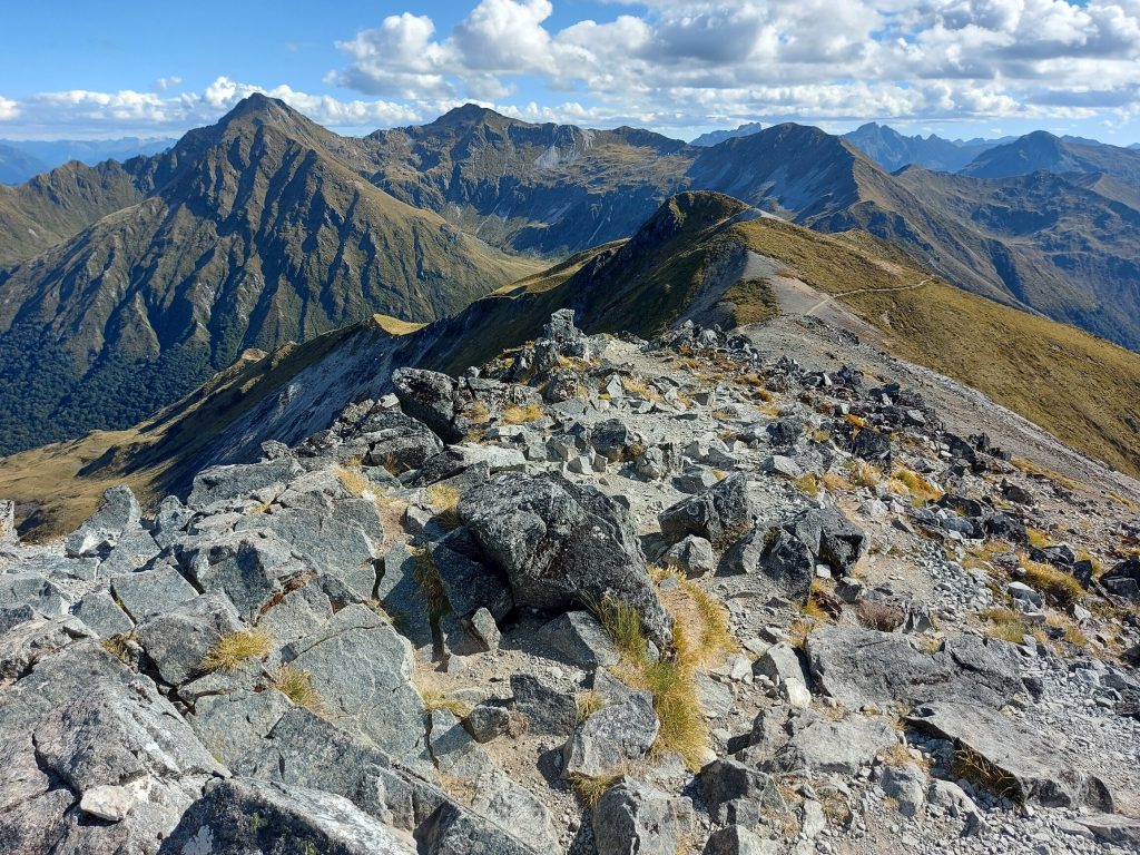
We were on the summit in warm, calm conditions. It was a standout moment of our Kepler adventure.
Don’t be tempted to leave your pack at the junction if heading to the summit. An unguarded pack is bait for kea for miles around, only to be torn to tatters before you can get to it.
Luxmore summit to Iris Burn Hut
The track stays high, at 1400m, before dipping to Forest Burn Shelter (1270m) via a sharp zigzag. The shelter is appropriately named as it sits in the saddle at the source of Forest Burn. From here, Kepler Track skirts the ridge before climbing steadily again, almost to the 1400m contour.
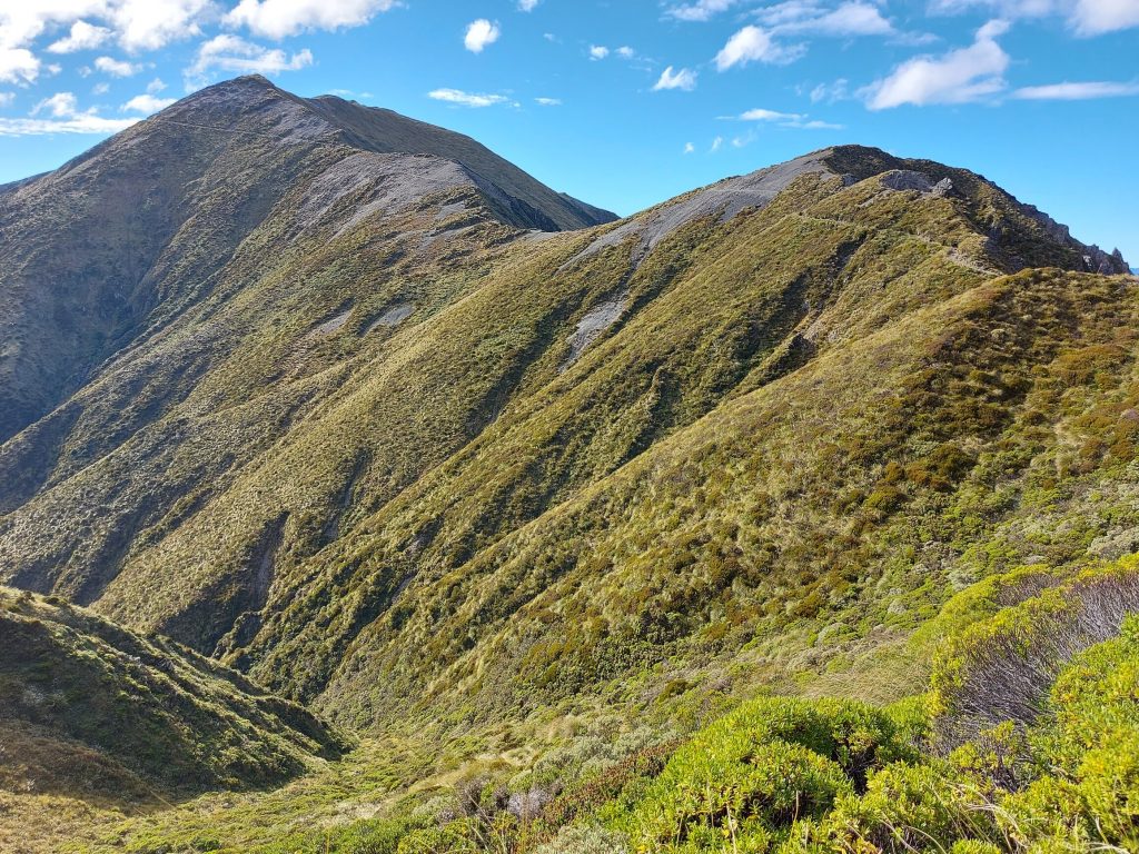
The track swings northwest for two kilometres, with views opening up across Iris Burn valley and Kepler Mountains. The path—while not too difficult and relatively level—is very exposed, following the true ridge. Mentally it is perhaps the toughest section of the track. Hanging Valley Shelter (1390m) comes as a welcome place for lunch.
The track turns due south along a spur, with a steep staircase to lose 100m elevation. A side path to a lookout above Iris Burn valley provides a welcome break, and from here the track dives into the bush, descending a steep series of switchbacks 400m to Hanging Valley Stream. Poles are useful. Don’t be fooled that you’re at the bottom where you cross the stream—it’s still another 250m of solid descent to Iris Burn Hut.
Iris Burn Hut
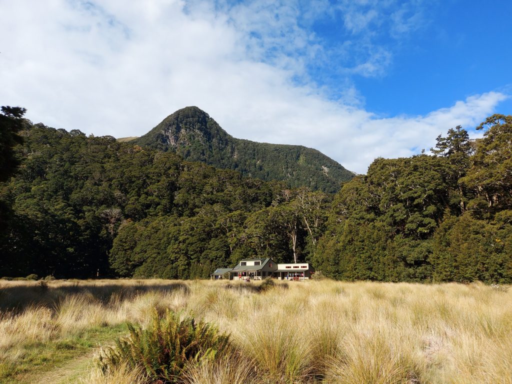
Iris Burn Hut (50 bunks) has perhaps the most idyllic setting of all three Kepler huts with plenty of attractions nearby, including a stream with bountiful (and bracing) swimming holes.
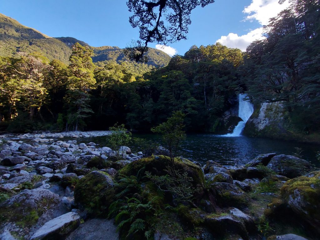
I did the 45-minute return walk to Iris Burn Falls—a cascade of two small cataracts. If you’ve walked the Milford Track you may be underwhelmed, but the benign path through the bush is gorgeous. The Iris Burn is also a great spot for spotting whio (endemic blue duck) and I was fortunate enough to see one lazily floating down the stream. About 3,000 whio exist in the wild, and I’ve only ever previously seen them in the wild in the Clinton River, also in Fiordland.
Kea are common around the hut at dusk—so despite the outside hooks, don’t leave your gear exposed under awnings under any circumstance! Tokoeka (Haast/Fiordland kiwi) are often sighted at night, so it’s fun to explore the tracks after dusk.
Iris Burn Hut has several sleeping quarters. If you arrive early, you might snatch the bunks tucked at the back of the larger dorm. You can also camp at this hut (whereas you can’t camp at Luxmore).
Day Three: Iris Burn Hut to Moturau Hut
This easy day begins with a slight ‘up and over’ before opening into a large, shrubby clearing through land recovering from the Big Slip of 1984. There are glorious views back up the Iris Burn, its canyon cutting through the mountains towards Lake Manapouri.
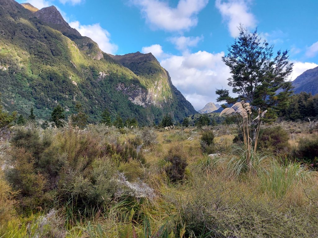
Kepler Track follows the true left bank of the Iris Burn all the way to Lake Manapouri. Rocky Point Shelter is 2 hours downstream from Iris Burn Hut, about halfway to Moturau. It’s a pleasant place for a snack.
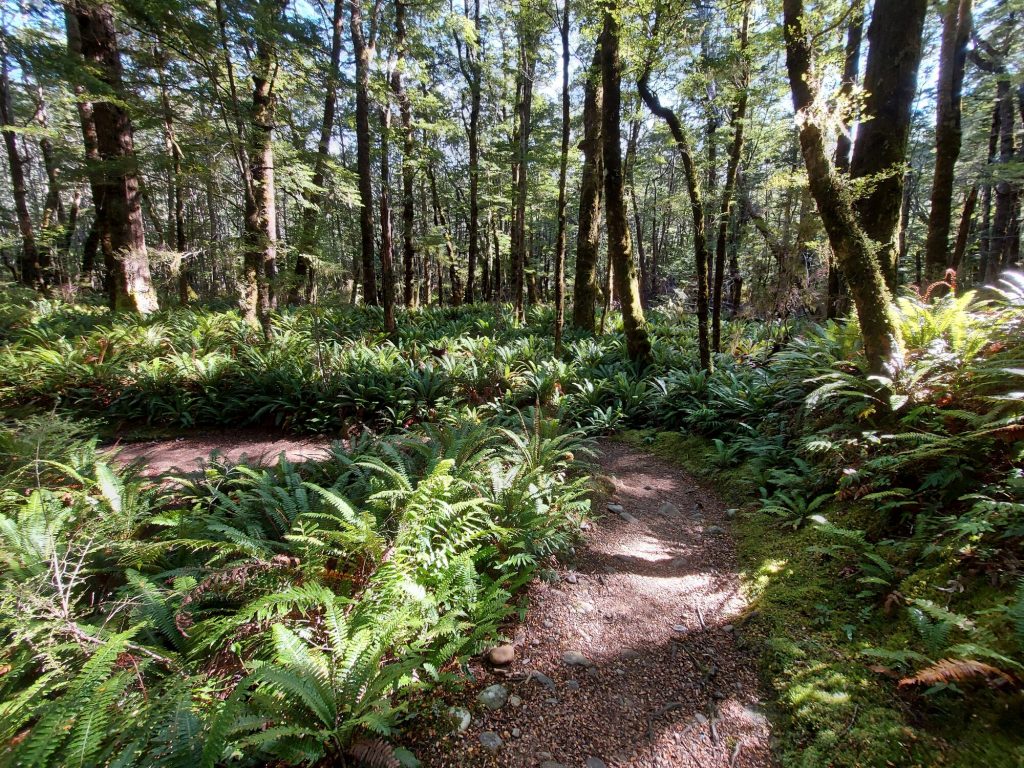
The track then climbs into a lush section, almost 100m above the Iris Burn, before dropping to near lake level where crown ferns abound. The last two kilometres to Moturau Hut trace Shallow Bay, a quiet stroll with lots of birdlife. This is a beautiful part of the track, with a few sandy coves to tempt those who desire a dip.
Moturau Hut
It took a little over 5 hours to reach Moturau Hut (40 bunks). I was half expecting to be a bit bored here—indeed, some trampers skip Moturau to make a three-day trip of the Kepler, heading out to Rainbow Reach. I was immensely glad we didn’t, as this was perhaps the most relaxing hut of the Kepler Track.
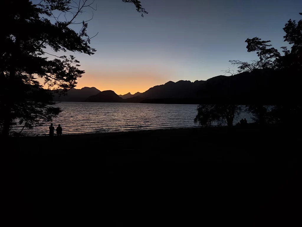
Arriving early, we took our berths in one of two smaller bunk rooms at the back, as opposed to the much larger dormitory upstairs. Cynically, I’ve seen Moturau referred to as ‘home of the namunamu (sandfly)’. More favourably, one might bestow the title, ‘home of the spectacular sunset’.
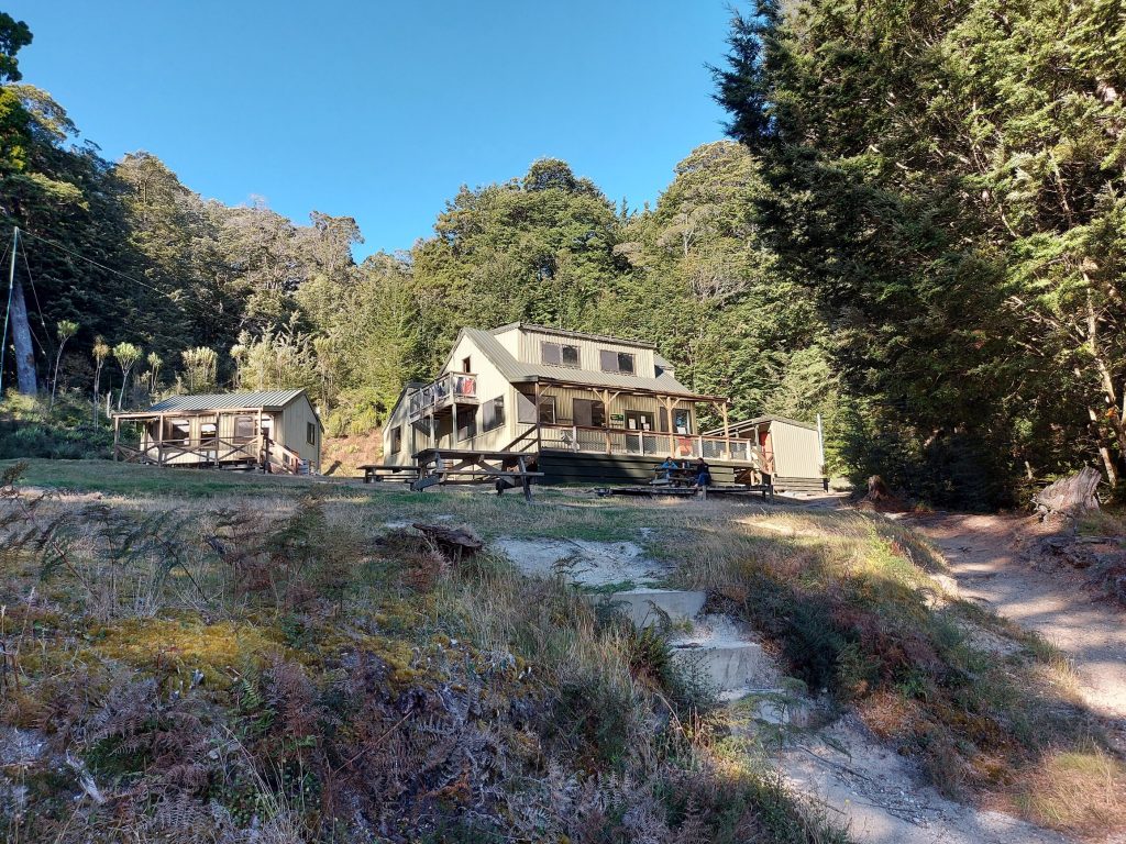
Two picnic tables on the hut lawn and campsite look out over the lake towards Leaning Peak at the head of West Arm. Those who miss modernity can find mobile reception on the lakeshore—from where my partner sent updates to the world back home!
We spent some of the afternoon at the golden beach where I swam in the surprisingly amicable waters of Lake Manapouri, and whittled away the evening learning ‘Sevens’ from fellow trampers. The stunning beach sports views across the Hunter Mountains, West Arm, the Cathedral Peaks, and back up the Iris Burn. It’s a stellar spot, for sunshine, serenity and stargazing.
Day Four: Moturau Hut to Control Gates
The final day is gentle. After 1.5km you reach a turnoff to Shallow Bay. This is a gorgeous side trip where you can look over Lake Manapouri and appreciate the full expanse of the landscape you’ve walked—from Mount Luxmore to Forest Burn, Iris Burn and Shallow Bay. This track actually leads to Shallow Bay Hut, an (unbookable) alternative to Moturau Hut.
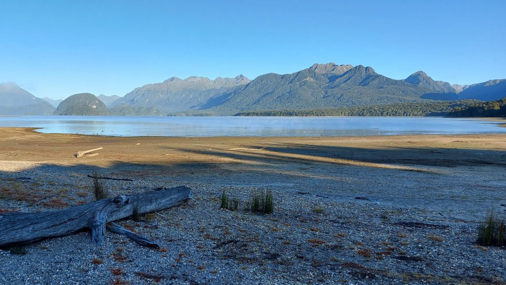
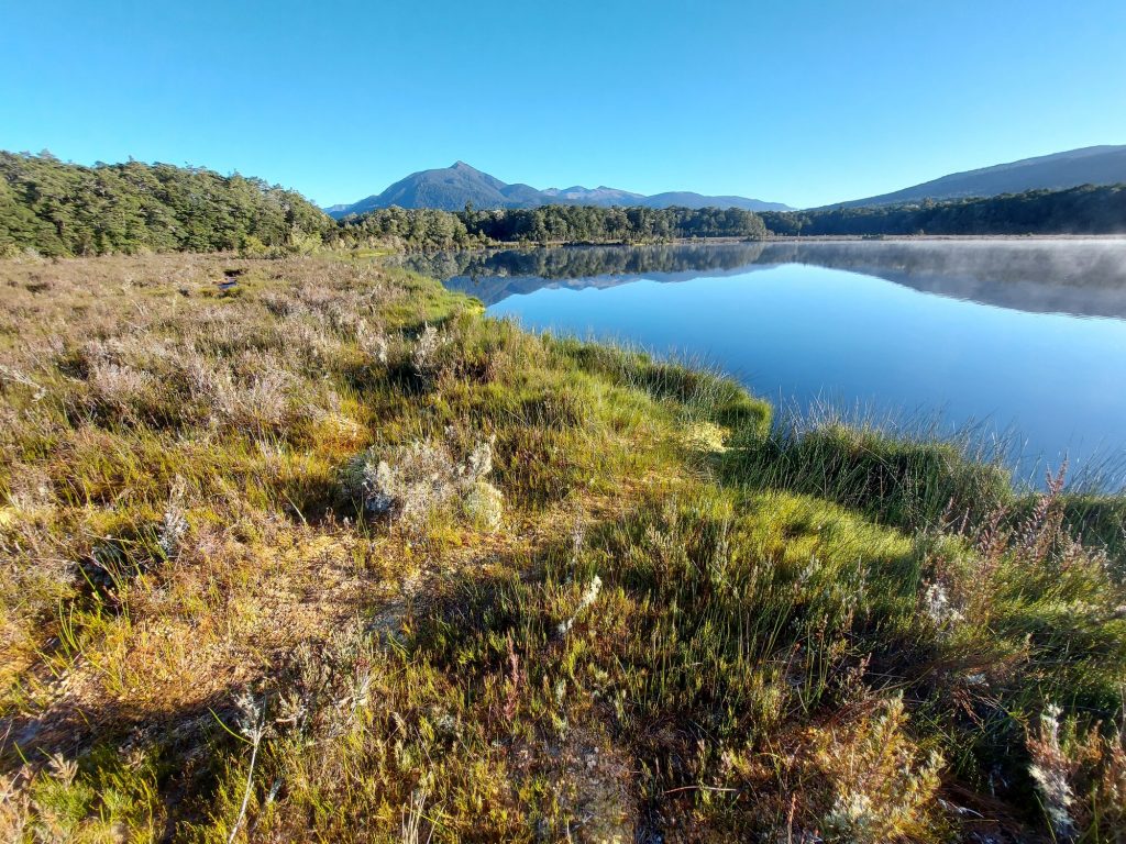
Soon after is an interesting kettlebell lake, hollowed out by an ancient glacier. As well as interpretative panels to help appreciate the fragility of the ecosystem and its different vegetation layers, this is a place to enjoy beautiful reflections.
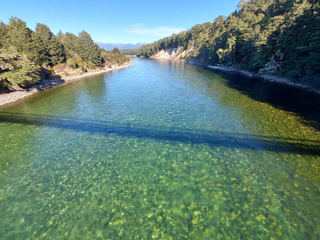
The crystal-clear Waiau River at Rainbow Reach is 90 minutes from Moturau Hut. A spectacular swing bridge provides an alternative entry and exit point, about 9km downstream of Control Gates. Because the Kepler Track is especially known for its alpine scenery, many choose to leave here, including those short on time.
Should I bother with the circuit?
Walking through the beech forests to Brod Bay or along the quiet stretches of the Waiau River, I couldn’t help but think it a shame to overlook these sections. Both are rich with fungi and bird life, and a soothing transition to and from the more dramatic sections of the Kepler Track. They’re also very easy and flat. For example, it took 1 hour to walk from Control Gates to Brod Bay, and about 2.5 hours to walk from Rainbow Reach to Control Gates. Arriving back at Control Gates is celebratory—there’s nothing so satisfying as coming full circle.
Need to know
Access: There are carparks at Control Gates at Lake Te Anau and Rainbow Reach. Tracknet can help with transfers. You can also get water taxis to and from Brod Bay, which is 5km from Control Gates.
Grade: Moderate-Hard. As Great Walks go, this is on the tougher side, due to the technical nature of the alpine section in particular.
Accommodation: Huts are $68 per night in the Great Walks season (2022)
Distance and ascent: 61km, 1900m vertical
Time: 3-4 days
NZ Topo 50: CD07 Manapouri, CD08 Te Anau
