On top of Kaweka

A trip to the Hawkes Bay’s highest point, Kaweka J (1724m) provides spectacular views over a seemingly endless maze of untamed terrain in all directions. 

This piece was first published in the November 2021 issue of Wilderness Magazine.


At nearly 1000m, the Makahu Saddle road end is over halfway to the Kaweka tops – a welcome leg-up to anyone tackling the summit ridge. From here, it’s a stone’s throw to the Kāweka Flats track junction. Keep left – unless you want to call in at Makahu Saddle Hut (four bunks), clearly visible from the junction.

Makahu Saddle Hut

A few metres further the track splits, with routes up Makahu and Trials Spurs. Both lead to Dominie Bivouac and the summits beyond. Trials Spur is the usual route while Makahu is perhaps more adventurous and fun. It’s also the true dividing spur, separating the Mohaka and Tutaekuri watersheds.

Heading up Makahu, one carefully picks their way up a scree slope before emerging onto zig-zags and clambering over a few exciting – but not intimidating – rock outcrops. It’s less than half an hour from the scree to the junction with Trials Spur. Along the way are great views of the switchbacks that characterise the Trials Spur route, as well as a scary-looking scree fan on Don’s Spur.

Zig-zags down Trials Spur

From the junction, a poled route leads to two-bunk Dominie Bivouac (1480m), about 20 minutes away. This is the most strenuous section of the route, so take time to enjoy the increasingly expansive views that open before you. Dominie is painted a bright Forestry Service orange and has superb views over the Hawkes Bay back-blocks and eroded ramparts of North Kaweka. It’s a fine place to stop for a snack and assess the conditions above before venturing further.

Dominie Bivouac under the summits of Kaweka Range

It’s now less than an hour to the summit of Kaweka J. The route traces the ridge, skirting scree slopes and a tiny tarn before emerging onto flat, open tops at the track junction with North Kaweka. Keep left and follow the trail south to the summit, walking past the sign to Don’s Spur.

Don’s Spur (left) and Coxcomb Spur, with the Donald River Gorge beyond

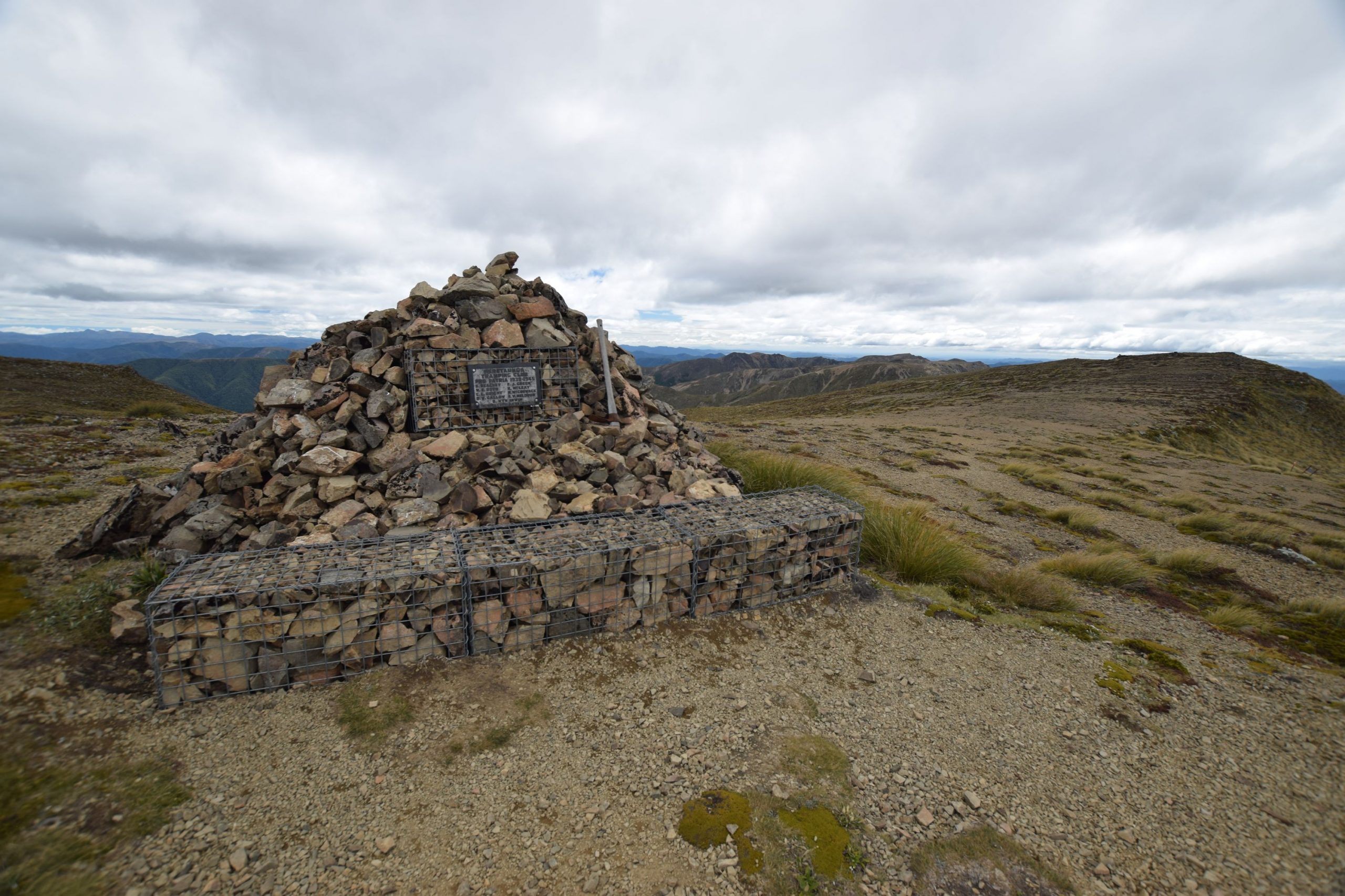
The top of Kaweka Range is a tussock tableland, a stark contrast to the steep and weathered terrain below. Small wonder that the summit is a paradox – a mere knoll on an isolated plateau means that there is no physical climax, yet the views are enough to motivate any would-be hiker. Tauhara lies to the north. To the west, the volcanoes of Tongariro National Park stand sentinel behind layers of ranges. To the south, the Ruahine Range extends the North Island’s axial spine towards Cook Strait. A maze of canyons and crumpled ranges unfold to the east.

A memorial to the 11 members of the Heretaunga Tramping Club who died in the First World War, stands atop Kaweka J. The memorial, made of gathered stones, is a lonely yet appropriate and moving testament to those who fought for the freedoms of a much younger country.

Central North Island volcanoes from the summit of Kaweka J

Return as you came. Beyond Dominie, the route down Trials Spur adds interest to the round trip. Overall, this is an easier route than Makahu – but not plain sailing. There is no scree but rather a series of switchbacks to assist the descent. A diversion made for an abrupt yet brief slide down loose rock, while some lower parts of the spur were overgrown.

A day on Kaweka J is a demanding yet achievable goal for keen families, and a trip that evokes the possibilities of the Hawkes Bay backcountry. All routes above Makahu Saddle Hut are above the bush line and exposed. There is no water except for the tank at Dominie and the tarn.

A small tarn at the top of Makahu Spur

Need to know

Access: Drive to Whittle Road end. The road is steep and in poor condition — a 4WD is not essential but may be useful.

Grade: Moderate

Time: 1 hour to Dominie Bivouac and 1 hour to Kaweka J summit. Allow the same for descent. Allow 5-6 hours return.

Distance: 10km

Total ascent: 750m

Map: BJ37 Kuripapango