My buddy Tim and I were finally out for a long-awaited overnighter. We decided on a trip to Cone Hut, with a longer first day via Reeves and Tutuwai.
It was my first tramp of 2024 and second ever visit to Cone Hut. I’d never done the Reeves Track and knew it passed the ‘new’ geographic centre of New Zealand, marked with a plaque in 2019.
The ever-impressive Jim Nimmo swing bridge welcomed us to Tararua Forest Park. We swung left towards Cone Hut and crossed an unmarked creek. The direct track to Cone Hut points right (north-west) straight up a hillside.

Our track was obvious, although there was nothing to indicate it was a track. After a minute we reached a sign saying, “This is not a Department of Conservation track. Unmanaged hazards are present beyond this point.” Having read recent trip reports, I wondered how serious these might be and whether we should reconsider. I concluded this warning amounted to our taking responsibility for one’s crossing (or not) of Coal Creek and navigating any windfall.

I was right. Coal Creek, which is immediately below, didn’t present any issues—and shouldn’t, unless it’s been raining, in which case it may quickly become impassible. But it took sharp eyes to spot the orange triangle leading out of the creek. This was followed by a near-vertical scramble, albeit brief. We soon arrived at a junction with a small orange triangle and the words ‘Mount Reeves’ (in vivid) showing the way.
To my surprise the track up Reeves was in great condition – better than nearly any track I’ve walked in the Tararua Ranges – and way may more interesting than I’d thought it might be. I’d imagined a long, muddy hike along an unkept bush-clad trail, but this track had none of the usual roots, rocks and mud and, generally, the climb was forgiving and well marked.
At Pt 745 the track intersects with a track to Waiohine Valley Road which, since 2020, has been closed as the landowner has become upset with people crossing their land. The plaque to access the geographic centre of New Zealand is now much less accessible, with closed tracks from the road up either bank of the Waiohine River. Lovely.
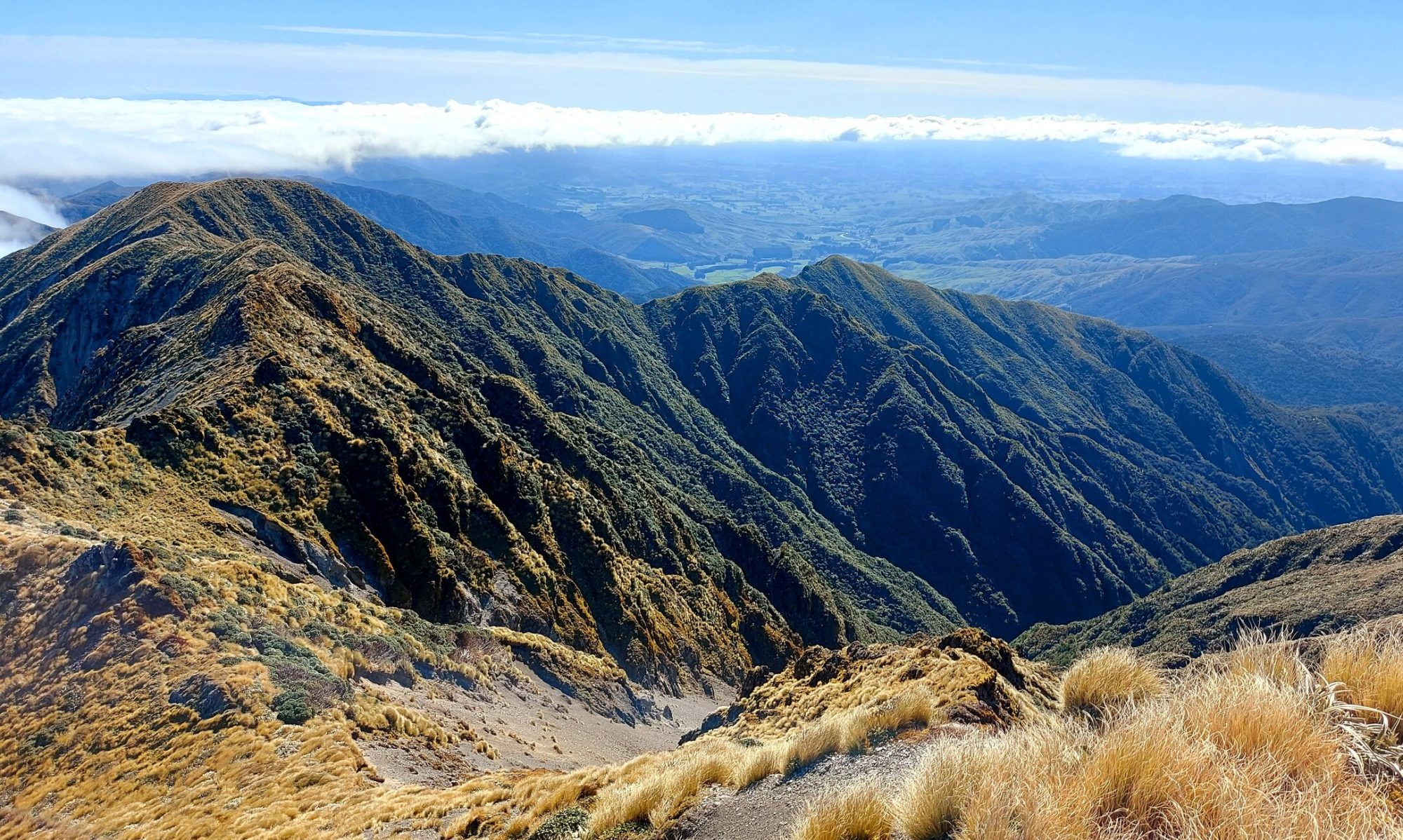
The vegetation now opens and there are nice views to the Wairarapa Plains above the flowering mānuka. The plaque denoting the geographic centre of New Zealand, including its continental shelf, is east of Pt 785. It’s alongside the track so you can’t miss it. The summit of Reeves sports a tiny side track to a lookout with a panorama from Masterton through to Lake Wairarapa and Wellington.

The track from Reeves heads down to the Tauherenikau Valley but it’s only the last 100m of descent that legs turn to jelly. One tumbles from the bush onto Tutuwai Hut. The hut, overlooking the river flats, is a lovely 20-bunker, with an open dorm on each side of the common area. It looked a nice place for a night.
We noted our intentions and pushed on to Cone Hut, a mere hour upstream. I hadn’t anticipated how much I’d enjoy meandering up the valley floor. With so few obstacles and trip hazards, you’d be forgiven for thinking you weren’t in the Tararua Ranges at all! Toitoi swayed softly in the breeze and, with the mature rātā in bloom, enormous and glorious bursts of scarlet appeared in an otherwise verdant forest canopy. It really was lovely.

We arrived at Cone Hut. At nearly 80 years, Cone is the second oldest hut in the park, built of tōtara slabs, and sleeps five or six on a single platform. One other tramper was there when we arrived, and two others came down from the hills later. We had a full house! Tim and I had a fun evening playing a game, chatting, and eating dinner among the trees . We enjoyed the peace that came from watching candles illuminate a hut as a nourishing day faded to darkness.

We left at 8.30am the next morning and it took 40 minutes to gain the junction at the ridge. From here it was an easy walk along the ridge – a little over an hour – before a quick descent back to the Jim Nimmo Bridge.
Need to know
Access: Drive to Waiohine Campsite.
Grade: Easy to moderate. There are some steep sections, particularly the last 100m descent to Tutuwai Hut and the descent to Waiohine Gorge. However, these are short. Cone via Reeves is likely the preferred direction, depending on rainfall.
Accommodation: Tutuwai Hut ($10, 20 bunks); Cone Hut (free; 5-6 bunks).
Distance and ascent: 18.5km; 1,435m ascent.
Time: Waiohine Campsite to Cone Hut via Tutuwai – 6-7 hours; Cone Hut to Waiohine Campsite – 2.5 hours.
NZ Topo 50: BP33 Featherston


