The relatively uniform Saint Arnaud Range rises like a smooth wall of dense green beech forest to open summits, often covered in winter snow. A trip up the Saint Arnaud Track to Parachute Rocks and the ridge is a great half-day hike in Nelson Lakes National Park.
From Kerr Bay Campsite, follow the signs to Saint Arnaud Range. Your walk starts along some excellent interpretative loop nature trails. On ascent, the basic rule to is to keep left as you pass the Lakehead, Honeydew and Loop Track junctions. The last of these is about 1.5km from Kerr Bay.
The track now penetrates the bush on a gentle incline, following Borlase Stream. After another kilometre, the track veers uphill. A series of ever diminishing zigzags leads to Parachute Rocks at 1,450m.
The hike to Parachute Rocks is reasonably popular but not overly busy, and you may find you’ve the track to yourself. It’s not a difficult track either, being well cut and graded—basically of Great Walk standard—as it moves up through sublime, mossy beech forest.
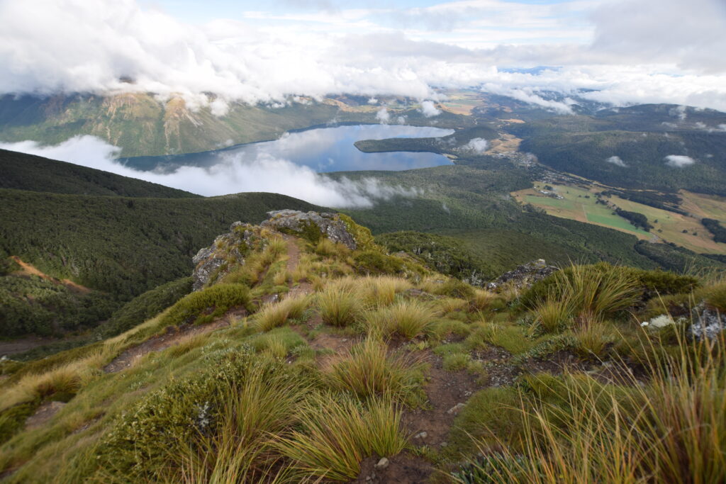
It takes about two hours to reach Parachute Rocks. You know you’re there when you reach the bushline. Skirt the rocks from below and step up to find yourself at a great vantage point to look down on the sleepy village of Saint Arnaud and glassy waters of Lake Rotoiti.

The distant peaks of Kahurangi and Abel Tasman National Parks peeked through low cloud. The smooth line of the Alpine Fault running from the Speargrass Gully, through Saint Arnaud and out along the Richmond Range, was plain to see.
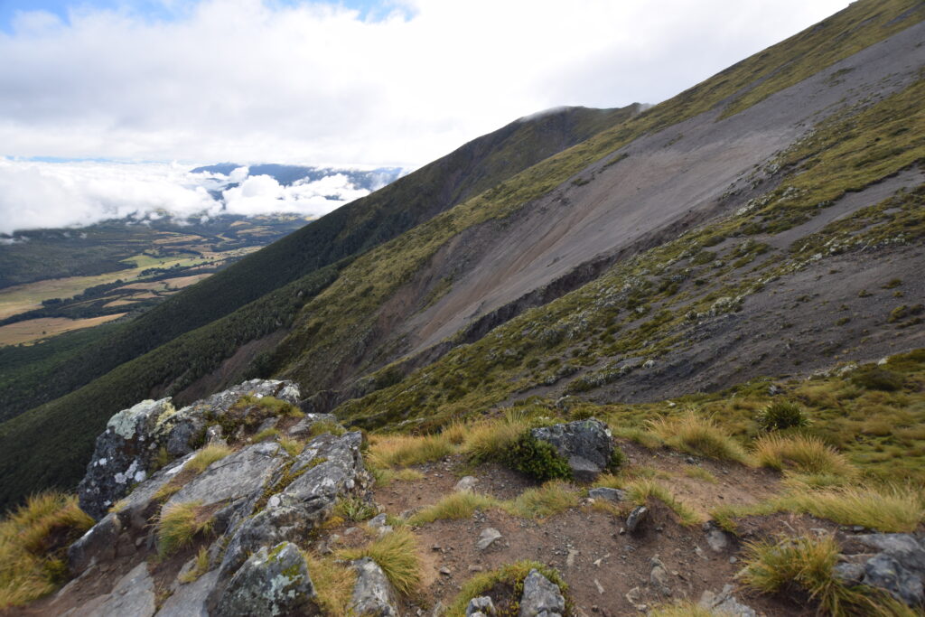
Parachute Rocks aren’t named for any adventure sport that occurs here or even the aerial view offered. They are named for the huge shingle fan of the same shape beside the rocks, which scars the Saint Arnaud Range.

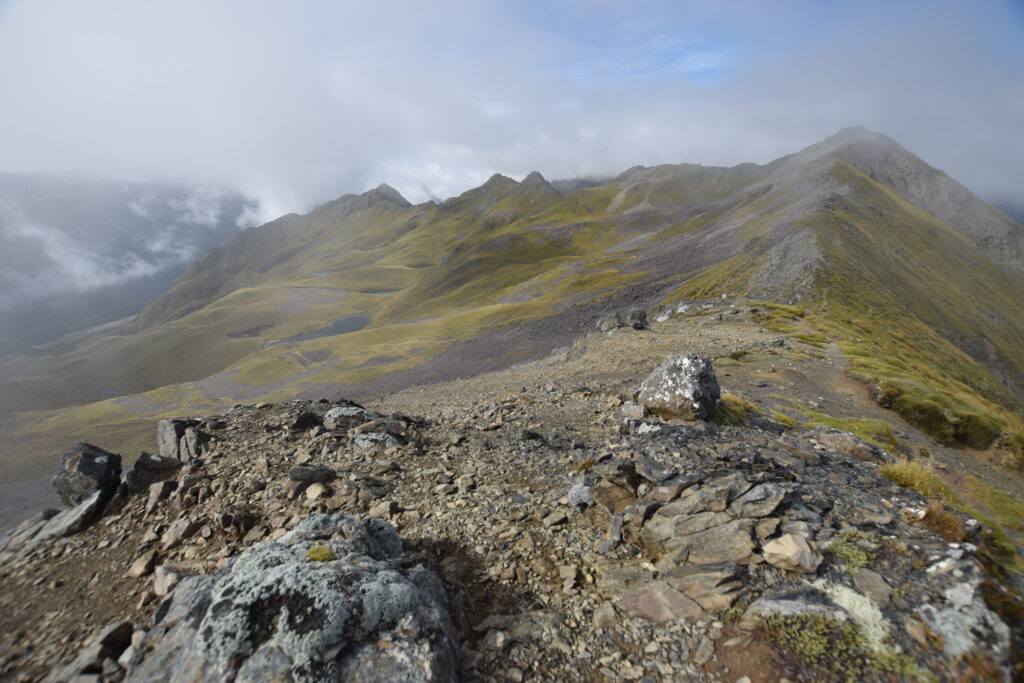
Above Parachute Rocks the track grade moves from ‘easy’ to ‘moderate’ tramping as you follow the route to the top of the Saint Arnaud Range. It’s a fairly steep 250m ascent to the ridge, and genuinely serious tramping territory in an exposed alpine environment. Expect this section to take up to 45 minutes.
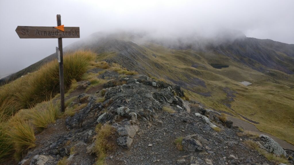
But it’s worth it. You’re now on the Main Divide, 1,700m up. Everything is vast and open, and there’s a sense of wilderness. The eastern flanks of the St Arnaud Range are dotted with pristine tarns. The open ridge extends south into the alpine labyrinth of the Spenser Mountains. Far, far below to the east, the Wairau River wanders towards Cook Strait and the Pacific Ocean. To the west, the burbling Buller River that drains Lake Rotoiti becomes a churning current and New Zealand’s third largest river by the time it discharges at Westport.

Wispy, harmless cloud drifted across the ridge as more threatening cloud built on each side. By the time I was back at Kerr Bay, it had started to rain.
I knocked this hike off in half a day. Still, if this is a taste of what’s to be discovered in Nelson Lakes National Park, further exploration is required.
Need to know
Access from Kerr Bay Campsite at Saint Arnaud. Return via the same track.
Time: Allow 5-6 hours return.
Grade: ‘Easy’ to Parachute Rocks. The route is harder above Parachute Rocks, but reasonably well marked and not too difficult. Beyond the ridgeline is advanced tramping country.
Total distance is 12km return and ascent is 1,079m.
NZ Topo 50: BR24 Kawatiri, BR25 Tophouse, BS24 Mount Robert, BS25 Severn


